


FLVfrTerrain
The FLVfrTerrain application supplements a pilots current flight planning tools, for VFR flights within the "lower-48" contiguous states of the USA. No data subscription is required.
The goal is to provide an alternate way of visualizing terrain clearances, to supplement the information available on traditional FAA Sectional Aeronautical Charts. FLVfrTerrain includes map and profile views, with ground elevations color-coded based on separation from selected cruise altitude. The colors form a continuous spectrum from red indicating terrain at or above aircraft altitude to green indicating terrain far below.
You may enter waypoints (airport codes or latitude-longitude coordinates) as text or by clicking points on the map view. Also, you may save flight plans to printable and spreadsheet-readable text files.
WARNING: FLVfrTerrain is not intended to be a stand-alone tool and is not for in-flight use, since it does not show airspace boundaries and man-made obstacles, and it does not track your location. Although the terrain data comes from government sources, Forward Loop Software LLC does not have the resources to independently verify accuracy.
If you purchase the application, please feel free to email bug reports, data error reports, and feature suggestions to the address on the Forward Loop Software LLC contact web page.
Screenshot Descriptions
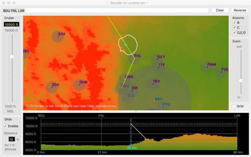
1. Example flight with Glide: This shows FLVfrTerrain version 1.1.0 with a flight from Boulder, Colorado (BDU) to Laramie, Wyoming (LAR) with the Glide feature enabled. The map view shows the maximum engine-out glide range in all directions from the cyan aircraft cursor, as an irregular white shape around the cursor. The profile view shows the glide path as a white line along the flight plan from the aircraft cursor.
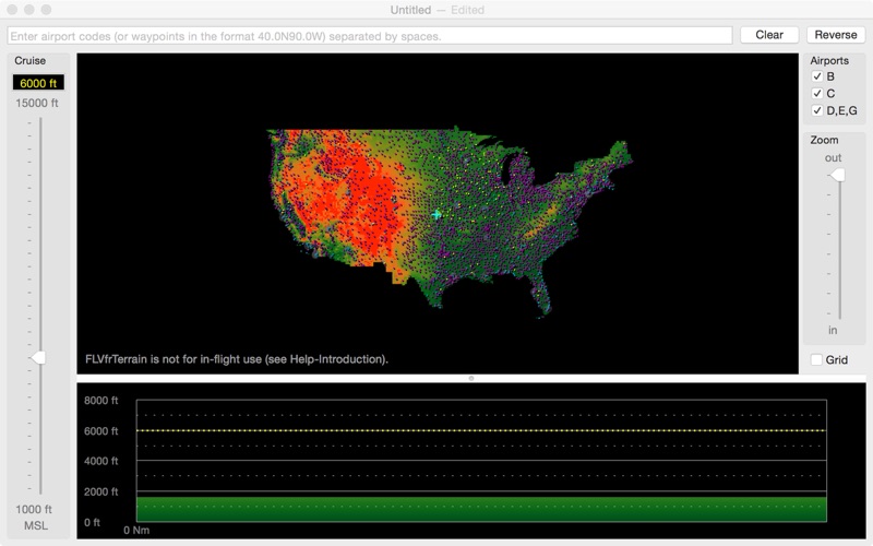
2. Startup screen: This shows a zoomed-out view of the entire terrain database. Note the flight plan text box at the top, cruise altitude slider at the left, airport checkboxes at the upper right (to hide particular classes of airports if necessary), and zoom slider at the center right.
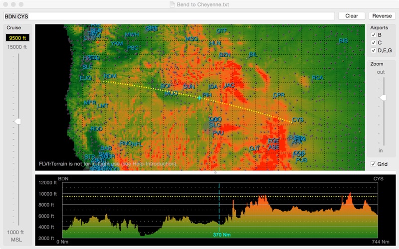
3. Example flight: Bend, Oregon (BDN) to Cheyenne, Wyoming (CYS). Cruise altitude is 9500 feet MSL. Note that the cyan cursor in the map view matches the one in the profile view. Also note the great-circle curve of the flight.
4. Example flight zoomed-in: This is after the user clicked on a high point in the profile view then moved the zoom slider down, in preparation for finding a way around the obstacle.